Organic Maps・Offline Map & GPS
Organic Maps
Downloads
1,000,000+
Version
Latest
Click to download now, finish the installation quickly, and directly unlock the all-round experience
Screenshots

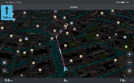
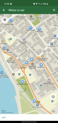
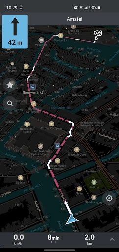
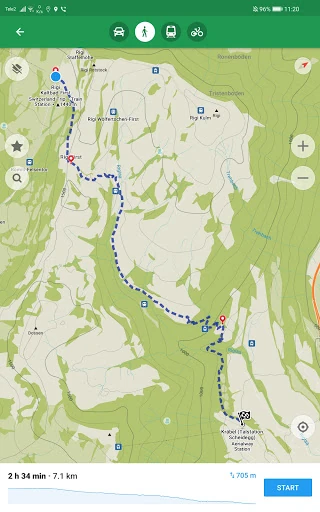
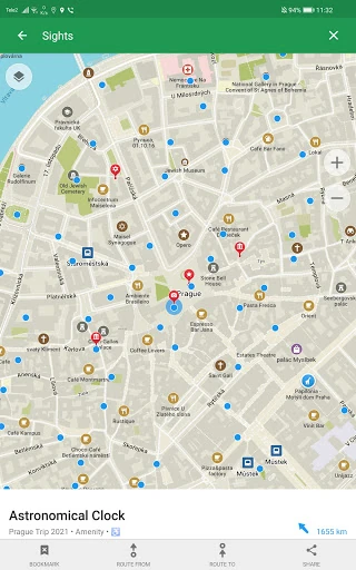
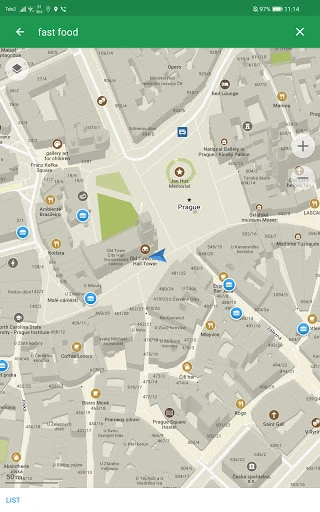

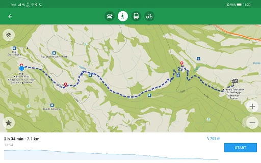
Click to download now, finish the installation quickly, and directly unlock the all-round experience
Organic Maps・Offline Map & GPS is built for people who need maps and route guidance when mobile data is limited or unavailable. It uses OpenStreetMap data to provide searchable maps, place information, and navigation for driving, walking, cycling, and hiking. The app suits travellers, commuters, and outdoor users who want one map for both streets and trails.
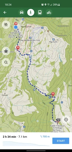
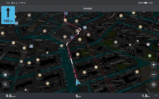
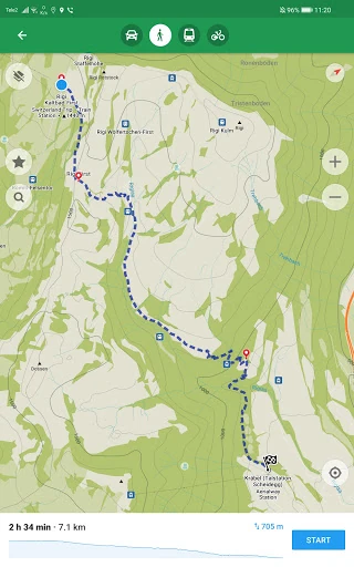
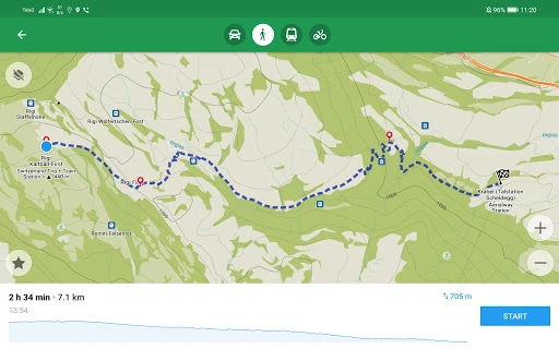
Maps can be used offline, including place search and route calculation. You can plan routes with multiple waypoints, follow turn-by-turn directions, and use voice guidance while travelling. Walking, cycling, driving, and hiking routes are supported, with map layers for cycling and hiking trails. Public transport information and Android Auto support are also included.
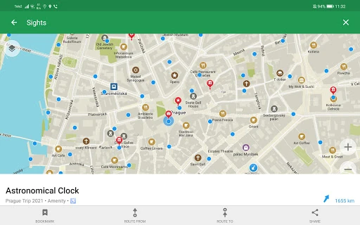
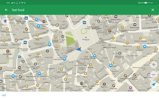
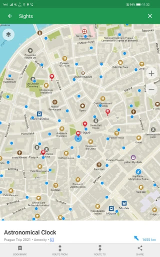
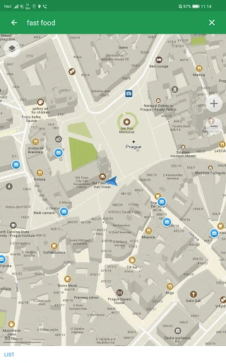
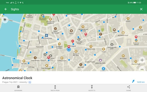
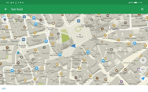
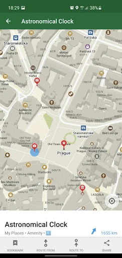
The map data covers more than addresses and major roads. Search can find places by name, address, or category, with details such as opening hours, wheelchair accessibility, and related Wikipedia information where available. Outdoor map layers help identify paths and established routes, while building labels and smaller map features can make local navigation easier.
Organic Maps is based on community-maintained OpenStreetMap data and is designed around offline use and privacy. Its main trade-off is practical rather than promotional: offline coverage depends on having the relevant map data available, and route quality reflects the underlying map information for each area.